Aller au contenu principal
sg
New Caledonia Tourism B2B Website
TOURISM OBSERVATORY
sg
SG
Homepage
GR® NC1 Stage n°2 : from the Neocallitropsis refuge in Netcha
GR® NC1 Stage n°2 : from the Neocallitropsis refuge in Netcha
Sport
Pedestrian sports
Hiking itinerary
Trail route
Elevation : 600m
Col de La Capture, 98809 Mont-Dore
Getting there
×
Open the itinerary in
Google Maps
Apple Plans
Waze
Mappy
Share
Ajouter aux favoris
Add to my favorites
×
Share this sheet
GR® NC1 Stage n°2 : from the Neocallitropsis refuge in Netcha
E-mail
WhatsApp
Facebook
X
LinkedIn
Pinterest
©
@J.F. Clair
©
@J.F. Clair
©
@J.F. Clair
©
@J.F. Clair
©
@J.F. Clair
+ 2
×
©
@J.F. Clair
©
@J.F. Clair
©
@J.F. Clair
©
@J.F. Clair
©
@J.F. Clair
©
@J.F. Clair
©
J.F. Clair
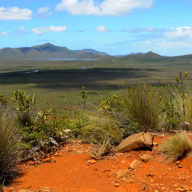
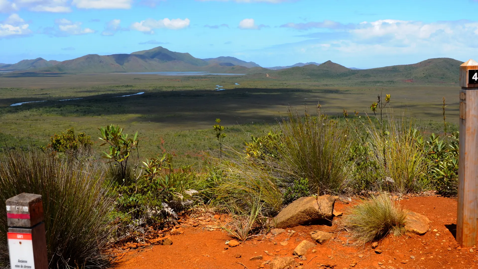
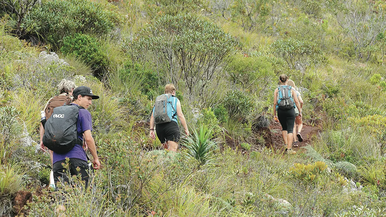
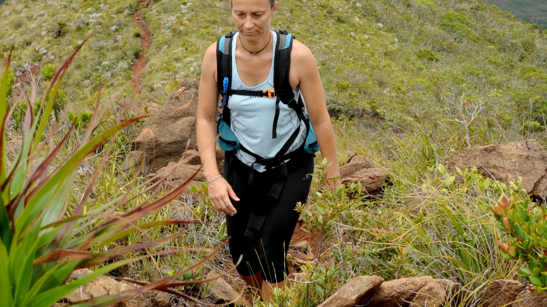
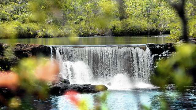
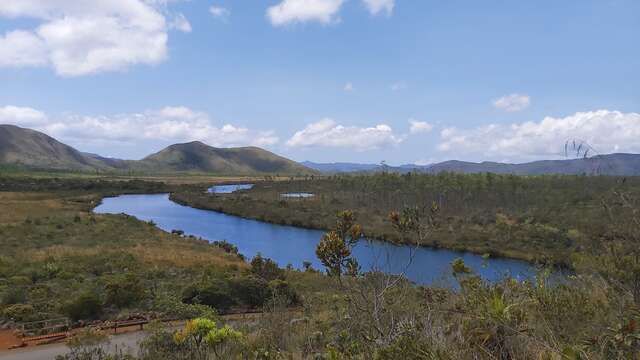
Leaving the Neocallitropsis Hut behind, you'll walk the long ridge line that separates the Plain of Lakes from the Pernod Creek Valley. From this low balcony, you will dominate the Deep South.
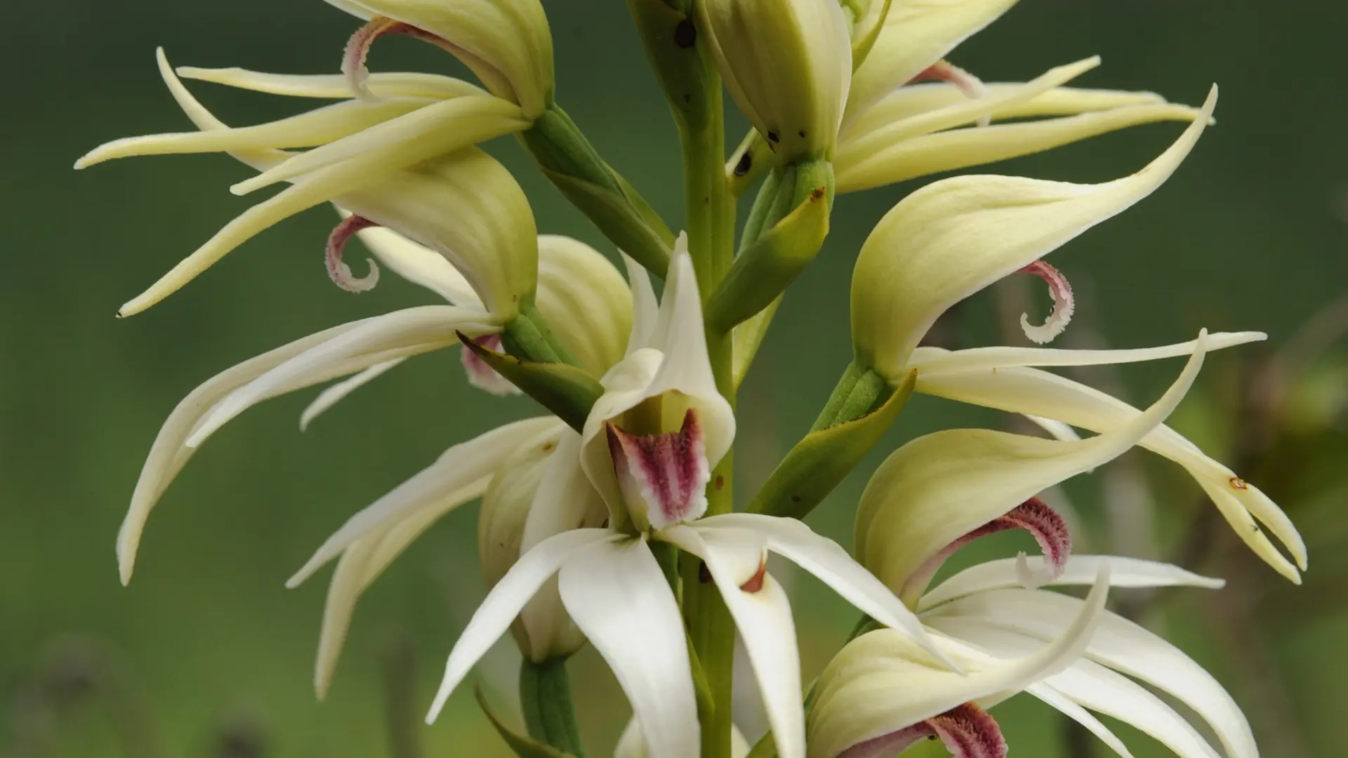
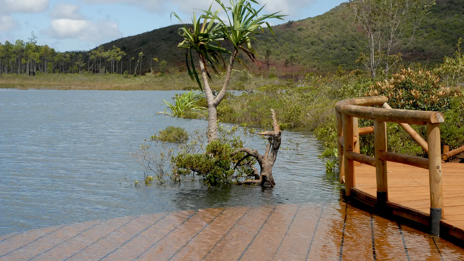
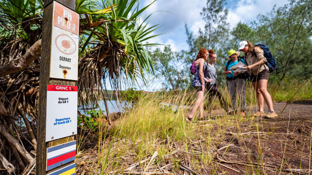
From the Néocallitropsis Hut to the ridge junction (6.2 km – 2 h) D Néocallitropsis Hut (GPS: 686 479 – 7 537 011; alt. 283m): head north, cross the tributary and set foot on a flat area covered with Neocallitropsis. Follow it towards the south-east, then cross the main course of the creek downstream of the water hole (> dangerous zone in the event of heavy rain). Head towards the first foothills of the Pic du Pin. The path weaves its way between hillocks and sink-holes. Go past the last water point and take on the climb. Reach the summit. 1 Shoulder (GPS: 687 685 – 7 537 916; alt. 426 m): climb the ridge that rises towards the peak (> tough climb, but regular and gradual route) [> entry into the special botanical reserve of the Pic du Pin]. The path then reaches a second shoulder among the blocks of peridotites. Bypass a first summit by the north-east, then return to the edge of the ridge [> to the north-east below, a valley with Agathis ovata]. Cross the saddle (an unmarked path descends the small ridge that borders the valley to the north, then joins the RM 10). Climb towards the Pic du Pin, then leave the ridge [> an unmarked path climbs to the top of the Pic du Pin; panoramic lookout]. 2 Fork (GPS: 687 394 – 7 538 643; alt. 587m): turn right to leave the ridge and cross the east face of the Pic du Pin overlooking a well-preserved primary forest. Join the main ridge. 3 Small pass (GPS: 687 480 – 7 539 222; alt. 556m): bypass the well-marked hillock. Switch to the north-west side of the ridge line. Bypass a summit before returning to a wooded pass buried in the vegetation (palm trees). Cross the forest, then exit the pass via a few zigzags. Reach a junction of ridges. From the ridge junction to Netcha (4.6 km – 1 hr. 30 mins.) 4 Fork (GPS: 688 365 – 7 540 154; alt. 541m) (exit from the Pic du Pin special botanical reserve): turn right [> the route joins that of the Netcha Track marked in yellow]. Walk on the undulating and descending ridge [> aerial and easy route, viewpoints over the surroundings]. Follow the ridge line which slants south-east towards the mine. The topographic point marks the end of the long ridge line. Come out on the heights of a former mining operation. 5 Anna-Madeleine Mine (GPS: 690 561 – 7 540 307; alt. 356m) [> departure from the old funicular]: leave the mine to join the mule track below (> many other secondary tracks). Stay on the main route to reach the next intersection. 6 Junction with the Netcha trail (GPS: 690 609 – 7 540 887; alt. 283 m) [> on the right, path towards the Madeleine Special Botanical Reserve]: turn left towards a hillock [> it overlooks the farés of Netcha and the Rivière des Lacs]. 7 Viewpoint (GPS: 690 646 – 7 540 980; alt. 260m): descend the croup towards the north-west. Reach the RM 10. 8 Road (GPS: 690 605 – 7 541 049; alt. 238m): cross it to reach the camp-site. 9 Netcha site (GPS: 690 340 – 7 541 321; alt. 241 m): (equipped and paid area. The entrance ticket can be used for the Madeleine Botanical Reserve). © Text by Jean Francis Clair FFrandonnée® grading * Effort: IBP 57 Not very difficult (orange) * Technical difficulty: Fairly easy (light blue) * Risk: Not very high (orange) * Overall grading: Not very difficult (orange)
Read more
Services
Picnic area
Covered picnic area
Car park
Free car park
Documentation
WPT GRNC1 J2
Fiche descriptive
Environment
Mountain view
Panoramic view
Follows a section of...
On the premises
GR® NC1
New Caledonia is a fabulous land of adventure and emotion. Slowly, the GR® NC1 trail unwinds its trace from Prony to the North. Let's go together to decipher the path. Follow...
Mont-Dore
Agathi Trail
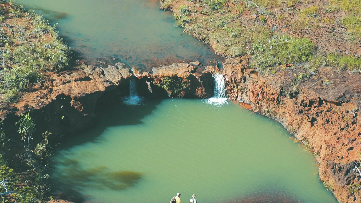
The Agathis trail leads to the natural reserve of the Madeleine Falls. A botanical path runs through it and highlights the remarkable species of the mining maquis.
Yaté
400
XPF
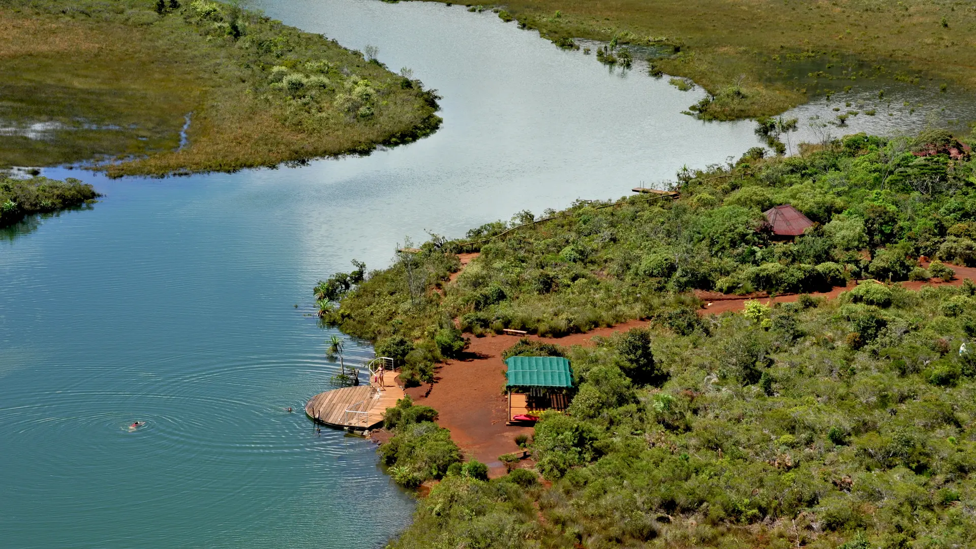
Netcha site
A developed site in the Southern Province, offering ideal facilities for a relaxing day outdoors, swimming, and camping in the heart of the Grand Sud.
Yaté
Camping at Nétcha
Camping in the heart of the Grand Sud, perfect for an immersion in nature. Everything is well-organized for campers while taking care to preserve the environment.
Yaté
Close
Popular searches
{% label %}
Filter search
Filter search
Tourist Offers
Business Offers
Page types
All
Articles
Agenda
Lists
Aucun résultat
/
Singapore
Français
Australian
New Zealand
日本語
General public website
Close
×