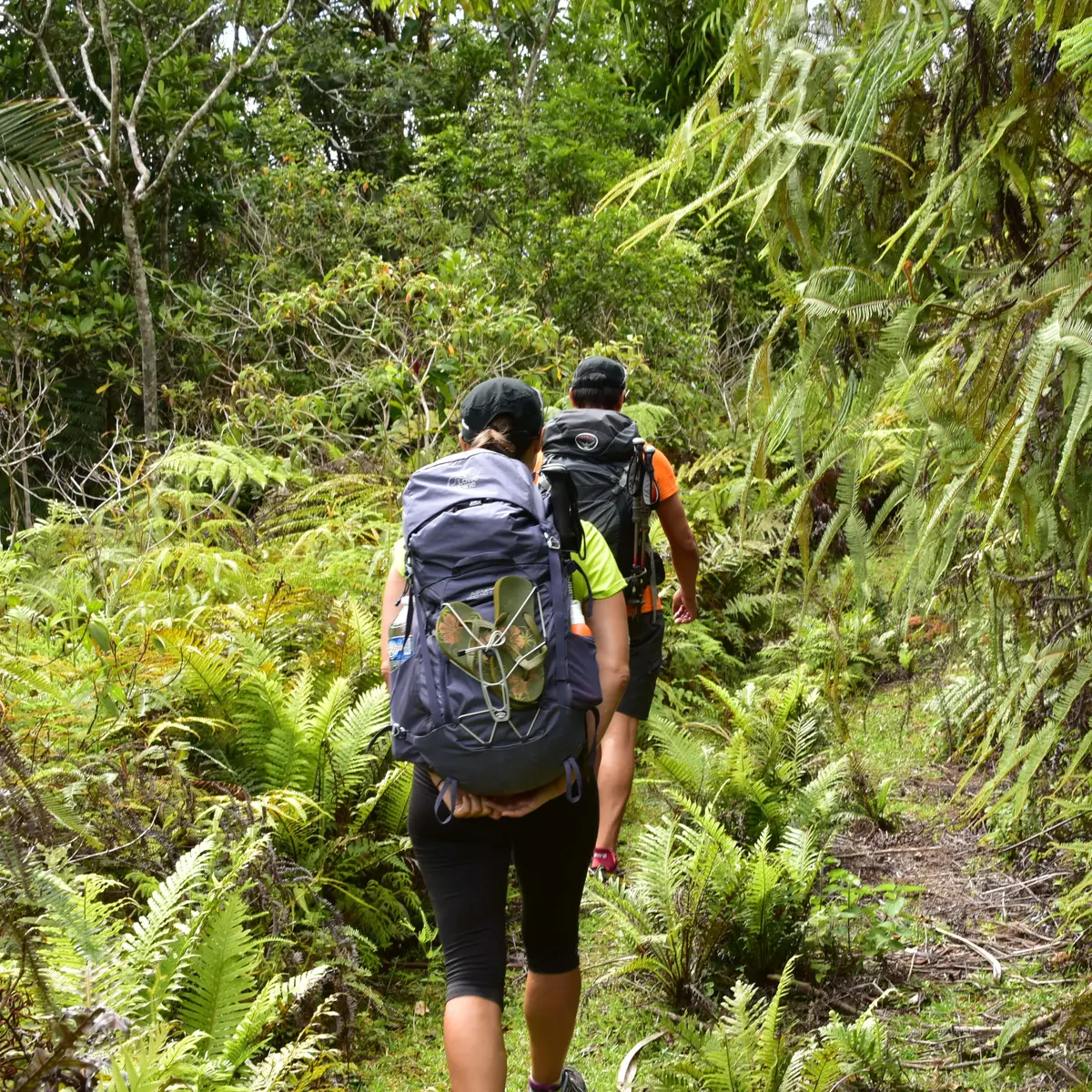
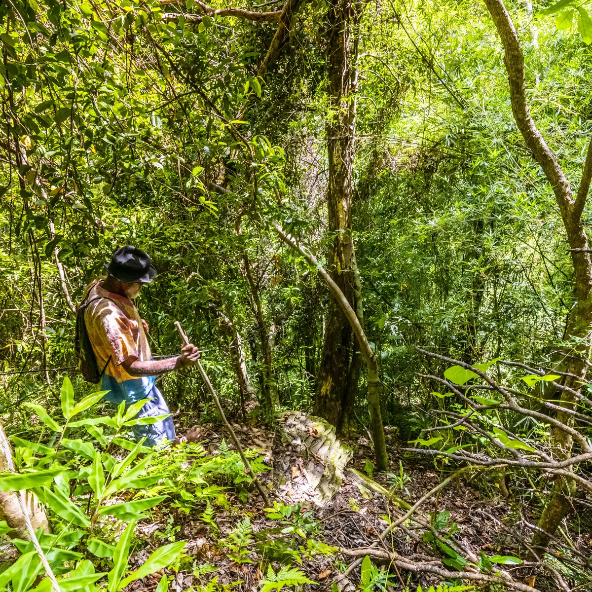
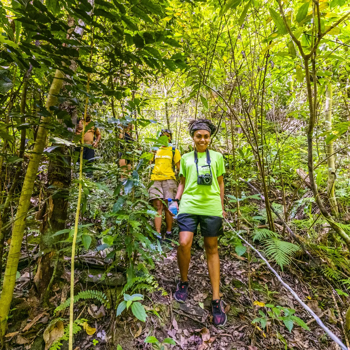
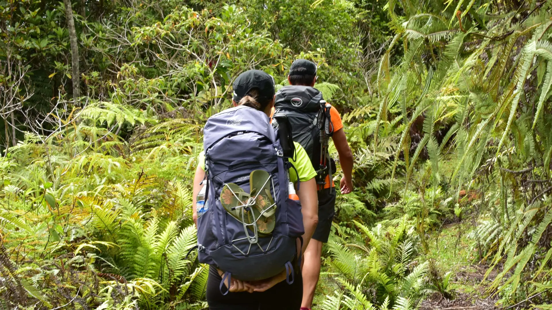
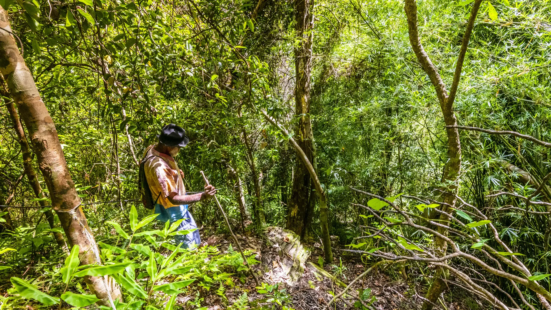
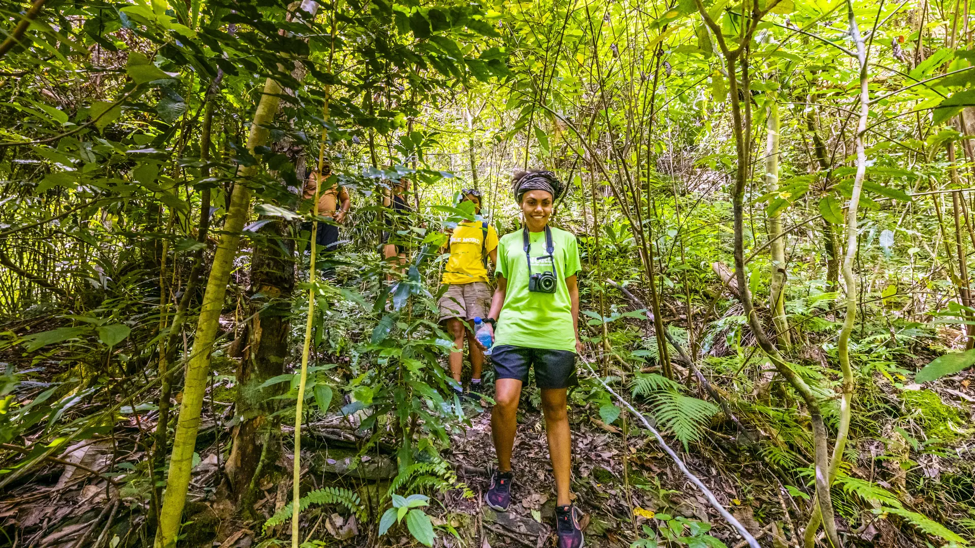
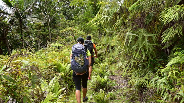
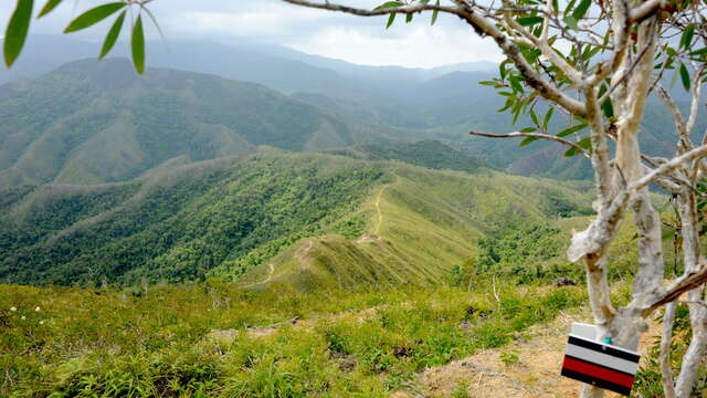
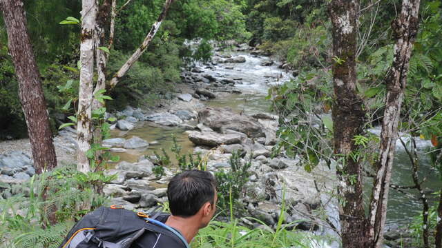
GR® NORD

  • Sport
  • Pedestrian sports
  • Hiking itinerary
Direction du Développement Economique et de l’Environnement (DDE-E), BP 41, 98859 Koné
The route of the GR® Nord stretches from the Ponérihouen valley to the narrow plain of the Tewadé (Tiouandé), on Hienghène, passing through the valleys of the Câba (Tchamba), the Amoa, the Tiwaka, the Tiwae, the Paola (Poyes).
The GR® Nord is a good way to discover isolated and little-known places in the north province on foot and in depth. The route stretches from the peaceful Ponérihouen valley to the narrow alluvial plain of Tewadé (Tiouandé), south of Hienghène.
It passes through the valleys of Câba (Tchamba), Amoa, Tiwaka, Tiwae, Paola (Poyes). It penetrates long inviolate and enigmatic spaces, rushes into the maze of primary forests, follows the thread of aerial ridges among the sparse niaoulis which dominate the surrounding valleys.
It crosses sometimes tumultuous rivers such as the Tiwaka or rubs shoulders with areas of great ornithological richness such as the Important Bird Area (IBA) of upper Câba (Tchamba).
The ride can be cool and pleasant or sometimes strenuous and physical. But the path crosses several welcoming tribes and, in the evening, around the wood fire, after a traditional meal, when the darkness replaces the light of day, the pains of the effort fade away...

The GR® Nord is approved by the French Federation of Hiking.
Updated on 19 March 2025 at 12:51
by Nouvelle-Calédonie Tourisme
(Offer identifier : 5696292)
Report mistake
Close
Filter search
Filter search
  • Tourist Offers
  • Business Offers
Page types
  • All
  • Articles
  • Agenda
  • Lists
Aucun résultat