> Most of the route is shared with the GR® NC1.
Double marking.
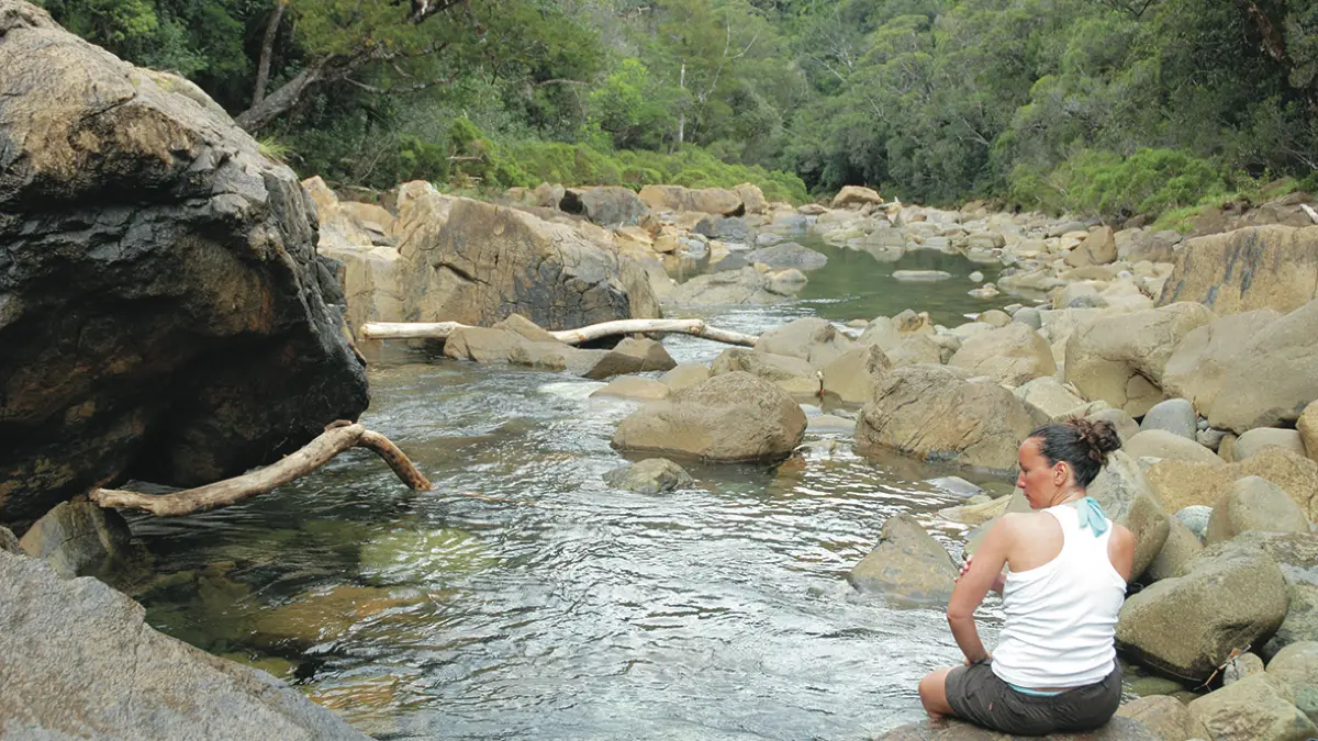
D Departure (GPS: 669 133 – 7 555 791; alt. 245m): cross the barrier and head north-west (GR® NC1 trail, double markings). Follow the old forest road that runs along the Blue River (left bank) at a distance, about 60m above the water level. Cross several fords (be careful, do not cross in rainy weather) (destroyed culverts, remains of logging), then pass the Tristaniopsis hut, which is located in a bend. The track then engages deep enough in the thalweg of a tributary to circumvent a hillock from the north. Leave the old Haute Pourina path on the right
and reach the Trench (GPS: 668 011 – 7 557 252) (small defile of red earth, view over the wooded valley). Continue on the good forest track (some plant species are endemic to this specific area) to reach a fork that is the departure point for the Kaori loop track.
1 Fork (GPS: 667 463 – 7 557 587; alt. 283m): leave the GR® NC1 path by descending to the left by a narrow path towards the river. Cross the river (be careful, do not cross in rainy weather). On the other side, visible marks indicate the continuity of the path. Enter the forest to reach an intersection.
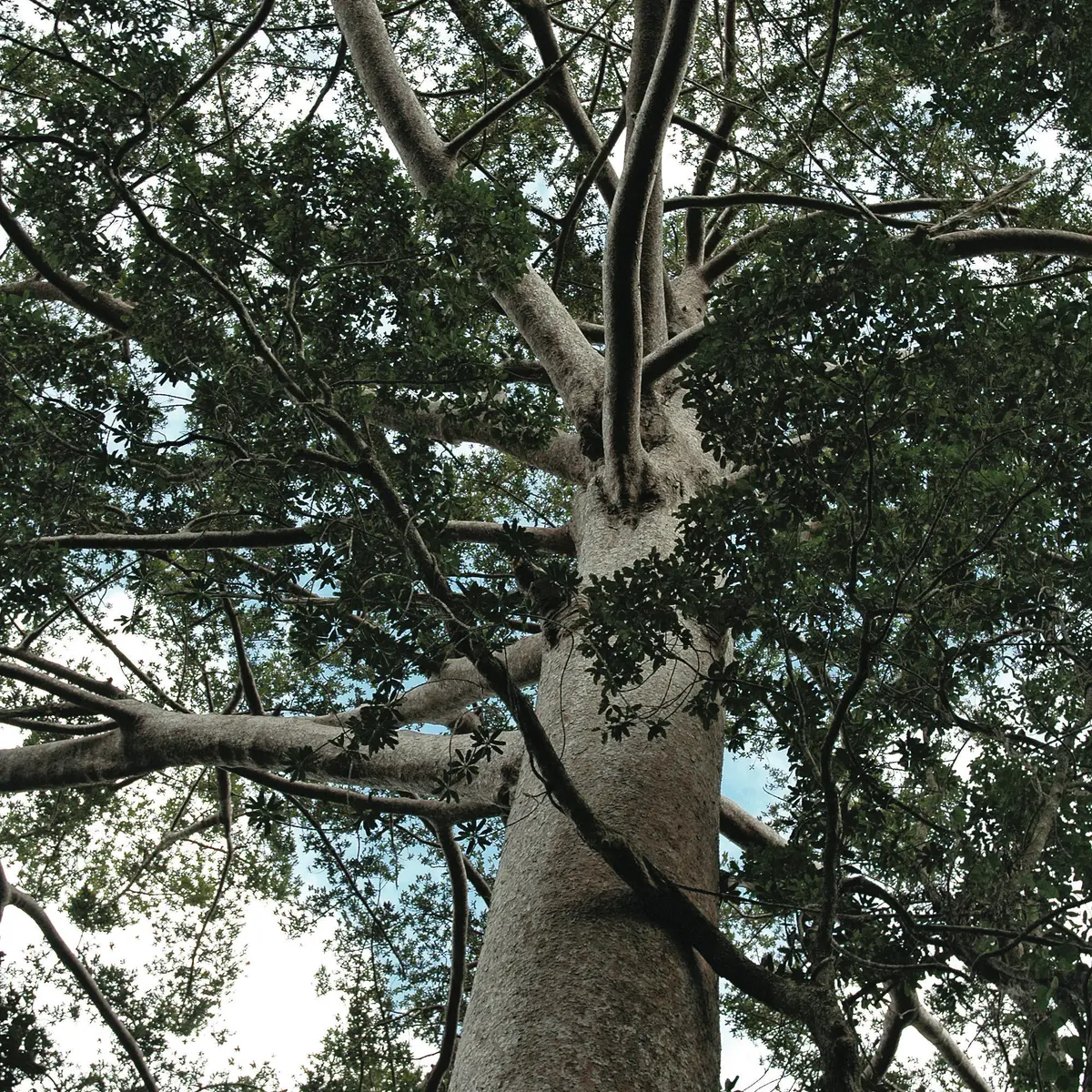
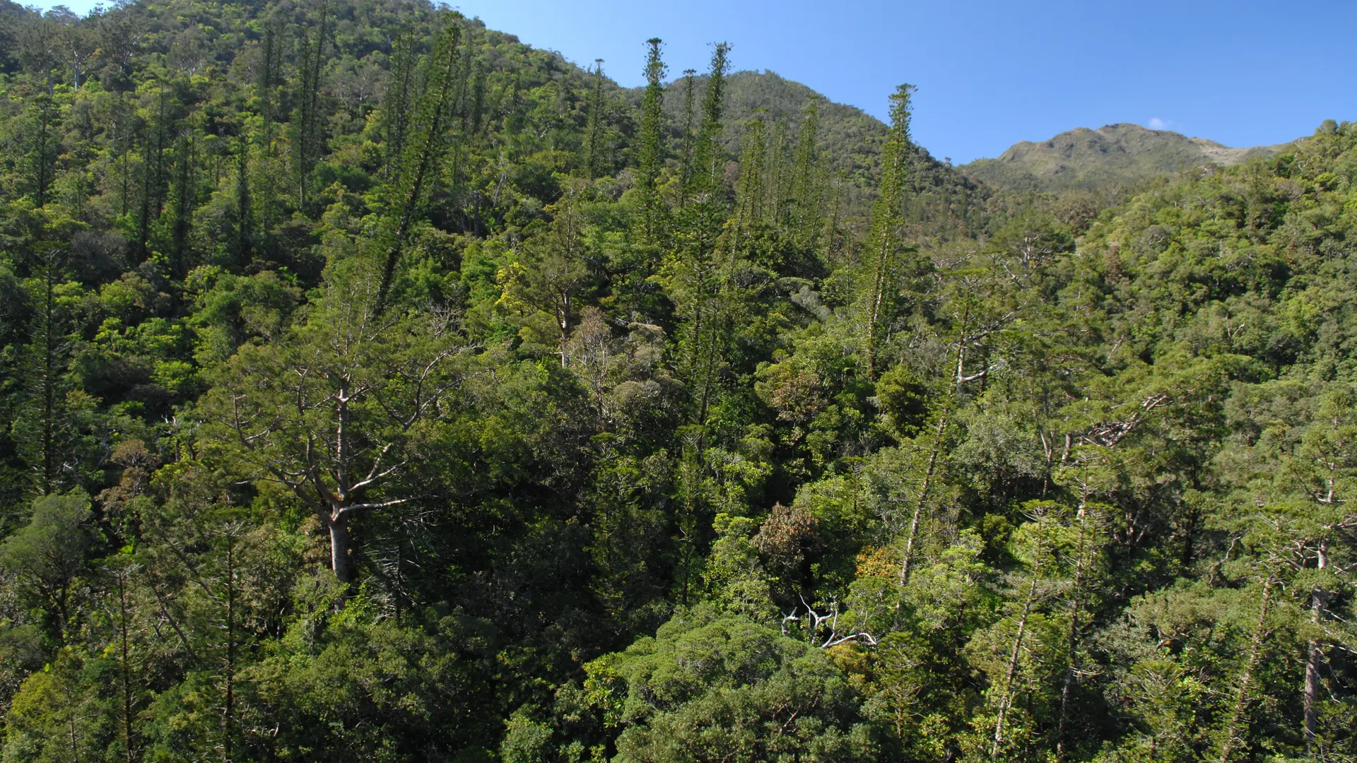
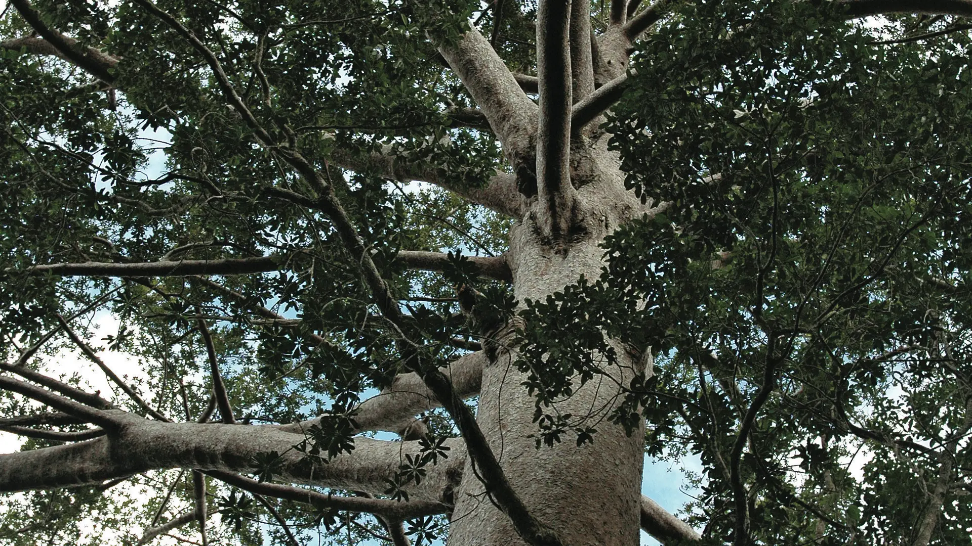
2 Intersection (GPS: 667 434 – 7 557 550; alt. 284m): turn left. The path quickly becomes steep over a distance of 400m (roots, slippery ground) among several majestic kaoris that were saved from logging. After 140m of elevation, reach a magnificent kaori.
3 - Kaori (GPS: 667 323 – 7 557 305; alt. 384m): the path heads west along the contour line (between altitudes 360m and 380m) and reaches a thalweg cluttered with rubble stones and branches.
4 Thalweg (GPS: 667 201 – 7 557 340; alt. 416m): cross it and find on the other side the path which climbs a short steep area. Reach a shoulder (highest point of the walk: alt. 400m). The path then plunges into a second wooded thalweg and, after several small zigzags, takes a marked bend towards the south-east, then joins a sink-hole (collapsed area, caution).
5 Deep sink-hole (GPS: 667 165 – 7 557 535; alt. 382m): go past it and cross a small shoulder. Continue the descent in zigzags to complete the loop and return to the river.
2 Fork: cross the river again and join the GR® NC1 trail.
1 Fork: turn right to return to the starting car park.
© Text by Jean Francis Clair
Read more