This path allows you to reach the thermal spring located at the mouth of the Kaori River. The first section is accessible to all-terrain vehicles (from point D to point 4), the second is only accessible on foot (from point 4 to point 9; old miners' trail).
DESCRIPTION OF THE TRAIL
1 Departure (GPS: 694 800 - 7 533 980): from the starting point, go north-west, following an easy old mining track that runs alongside the power line. About 220m further, turn left, hairpin.
1 Branch (GPS: 694 674 - 7 533 830): then walk due south, towards a hillock covered with short vegetation.
2 Fork (GPS: 694 666 - 7 534 164): at the fork, turn right in a westerly direction, to follow the good track that winds across the plateau (it is accessible to truly all-terrain vehicles).
3 Intersection (GPS: 693 842 - 7 533 245): continue straight ahead to the west, staying on the good mining track (the one that goes to the right, to the north, goes towards the Kaoris river).
4 Fork (GPS: 693 046 - 7 532 816): (end of the route accessible to all-terrain vehicles) the route follows an old miner's path. Ascending gently on the western slope of a landslide (alt. 219m), it bypasses, from the north, a few thalwegs whose waterways flow towards Carénage Bay.
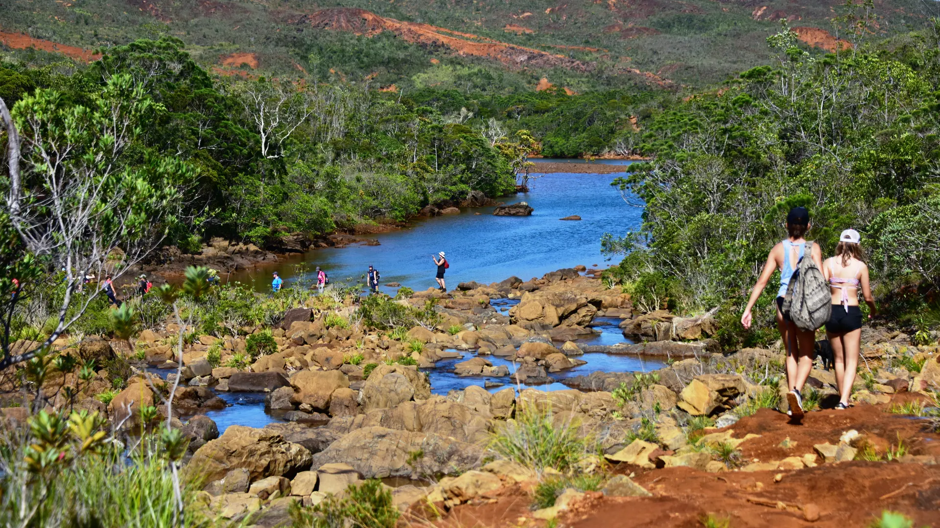
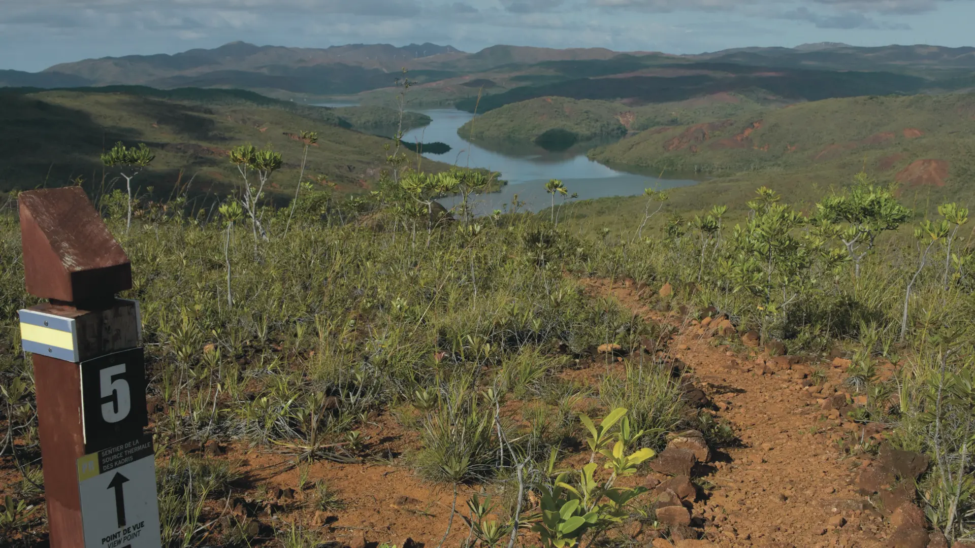
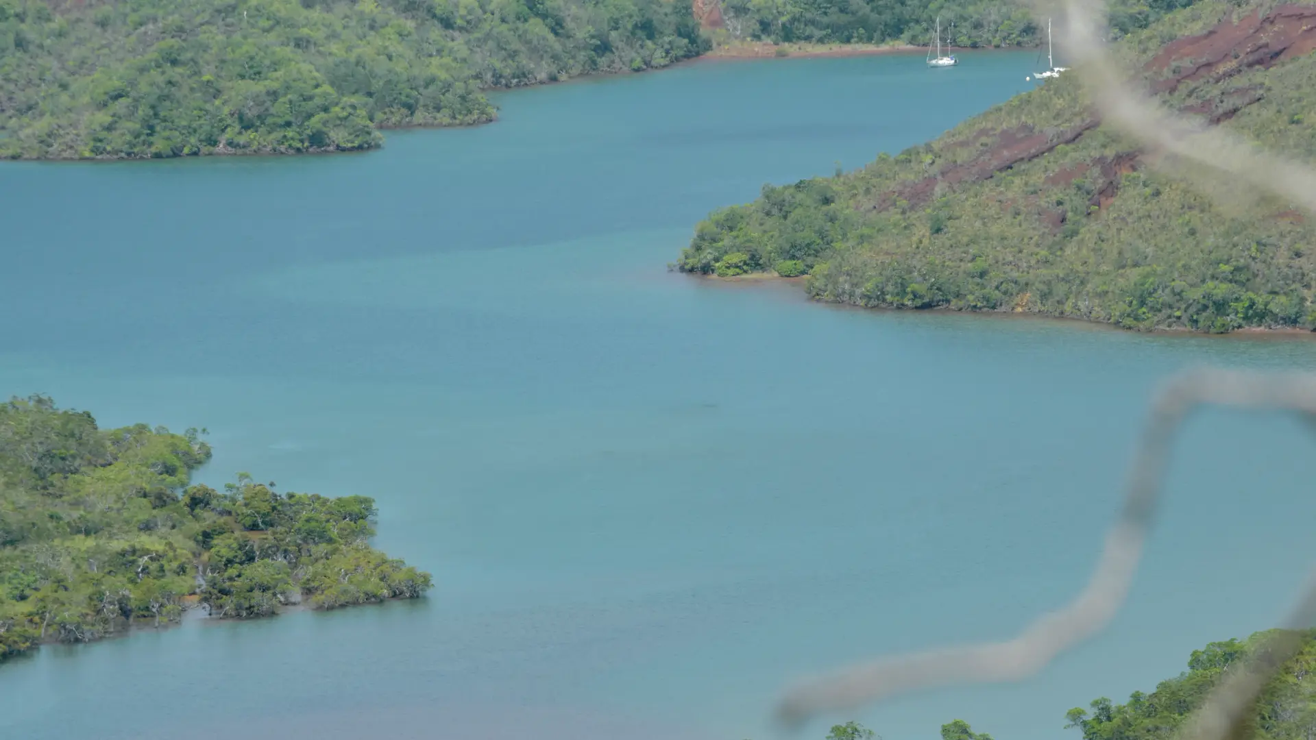
5 Viewpoint (GPS: 692 686 - 7 533 204): (a large part of the Baie du Carénage can be seen facing the path) the route runs gently, gently sloping, towards the seaside to the south-west.
6 Marshy area (GPS: 692 412 - 7 533 121): it crosses a small wetland area with whitish deposits before resuming its peaceful descent.
7 Helipad (GPS: 691 904 - 7 532 905): the helipad stands on a shoulder close to the site of the spring. Pass the junction with a path that arrives on the left, from the bottom of the thalweg and turn right.
8 Fork (GPS: 691 809 - 7 532 867): ignore the path which continues towards the north, in front (it leads to the ford of the Kaoris river with a pleasant waterfall) and turn left to reach the Bassin de la Source.
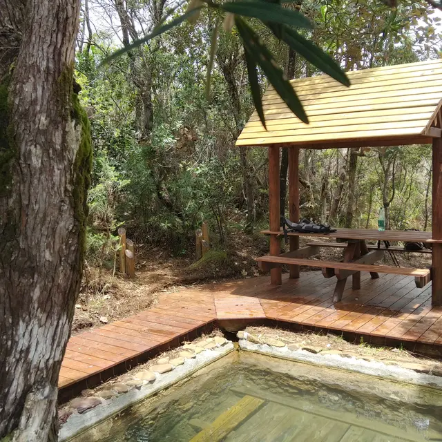
9 Thermal spring (GPS: 691 795 - 7 532 845): (table, benches, shelter and a small wharf for access by the sea or simply to bask in the sun).